

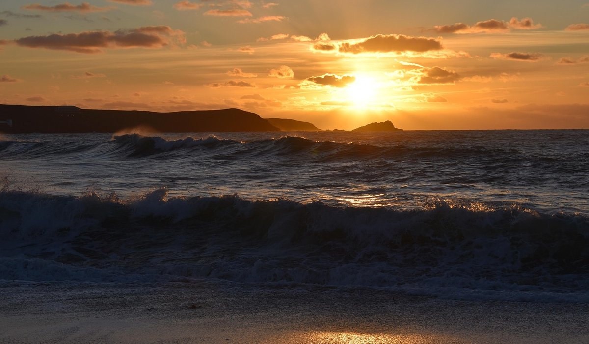
The tide doesn't just change the view on a coastal walk — it changes the route, the terrain and sometimes the way home. Around the UK, the tidal range varies enormously. In the Bristol Channel it can exceed 12 metres between high and low water; on parts of the east coast it may be less than two. That difference matters, because a beach you crossed easily at 10am can be a waist-deep channel by 1pm.
Most coastal incidents involving walkers aren't caused by a freak wave. They're caused by someone being a bit later than planned on a stretch of sand, mud or rock that quietly filled up behind them. Learning to read a tide table takes ten minutes and removes most of that risk.
A tide table gives you two things for each day: the time of high and low water, and the predicted height in metres. Most UK locations have roughly two high waters and two low waters in just over 24 hours, spaced about 12 hours 25 minutes apart. That's why the times drift later by around 50 minutes each day.
Read the whole day, not just the next event. If you're setting out at 9am, you need to know what happens at 11am and 3pm too.
Tide tables are predictions for a specific point — usually a port or harbour. The water at your beach may behave quite differently. Estuaries funnel water and can run hours ahead or behind the open coast. Headlands and bays shift the timing either side of them. Wide flat sands, such as those around Morecambe Bay or the Wash, can flood faster than a person walks, and often in a way that cuts off the route behind you rather than ahead.
Local factors also bend the prediction itself. A deep low-pressure system can add half a metre or more of surge. Strong onshore winds push water up the beach and hold it there. Heavy rain in the hills can turn a quiet estuary into a fast river. Tide tables are predictions, not promises. Treat them as your starting point and add local knowledge: harbour notices, local guides, signage at beach entrances and the wrack line of seaweed and debris that shows how high the water really gets.
Twice a month, around the new and full moon, the tide range is at its largest — these are spring tides, and they have nothing to do with the season. Between them come neap tides, with a smaller range. A walk that's fine on a neap may be genuinely dangerous on a spring, so check which you're in before you commit.
The rule of twelfths is the walker's shortcut for how quickly water moves. Over roughly six hours from low to high, the water rises about one-twelfth of the total range in the first hour, two-twelfths in the second, three in the third, three in the fourth, two in the fifth, and one in the sixth. The middle hours are the fastest — often the time people assume they still have plenty of room.
Carry a watch, not just a phone — batteries last longer and you won't be distracted by notifications. Tell someone your route and expected return time. Look behind you regularly; on flat beaches the sea can approach from an angle you're not watching.
If the water is already cutting in and you're unsure, turn back early rather than push on. If you do get cut off, stay high and dry, call for help, and don't attempt to wade or swim a channel — the currents around estuaries and sandbanks are far stronger than they look. Tide tables aren't there to spoil the fun. Used well, they're what let you relax and enjoy the walk, because you already know exactly what the sea is going to do next.

The Coastalcombe Written for people who value the details, and want honest guidance they can trust.

The Coastalcombe No rushing, no fuss — just thoughtful notes and practical help, written by people who care.

Compare grip, waterproofing and ankle support to find boots or shoes that keep you stable on muddy, rocky and slippery coastal tracks.

Comments
ALina Kelian
19th May 2018 ReplyThe Coastalcombe No rushing, no fuss — just thoughtful notes and practical help, written by people who care. ullamco laboris nisi ut aliquip ex ea commodo consequat.
Rlex Kelian
19th May 2018 ReplyThe Coastalcombe No rushing, no fuss — just thoughtful notes and practical help, written by people who care. ullamco laboris nisi ut aliquip commodo.
Roboto Alex
21th May 2018 ReplyThe Coastalcombe Simple, genuine and looked after with care — the kind of place worth returning to. ullamco laboris nisi ut aliquip ex ea commodo consequat.